(APR. 17) — More than 65,000 houses and buildings were mapped by 16 schools from five local government units with assistance from the UP Diliman Department of Geography of the College of Social Sciences and Philosophy (CSSP-Geog) and UP NOAH Center from February to April this year.
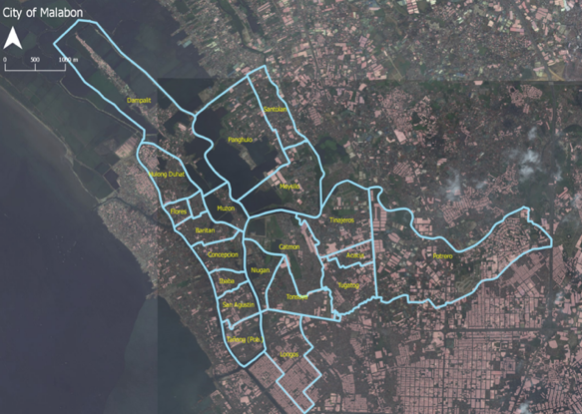
The schools belong to five of the eight participating municipalities of the Youth Mapathon, an online mapping competition for high school students where participants use the platform OpenStreetMap. These municipalities are Malabon, Navotas, Meycauayan, Marilao, Cainta, Taytay, Angono and Rodriguez.
Youth Mapathon is conducted with the support of CSSP-Geog and UP NOAH Center and is one of the main activities under Project SUCCESS implemented by the Catholic Relief Services (CRS) with funding support from the USAID-Office of Foreign Disaster Assistance.
The schools were: Holy Deliverance Integrated Christian School, Angono National High School and Regional Lead School for the Arts (Angono, Rizal); Francisco Felix Memorial National High School (Cainta, Rizal); Malabon National High School, Tinajeros National High School, Panghulo National High School and Concepcion Technical Vocational School (Malabon); St. Michael School of Marilao, Mother Teresa Academy of Marilao Bulacan Inc. and Prenza National High School (Marilao, Bulacan); and Muzon National High School, Benjamin Esguerra Memorial National High School, Casimiro National High School, Antonio Esguerra Memorial National High School and Manuel Santos Memorial National High School (Taytay, Rizal).
CSSP-Geog stated “The Youth Mapathon aims to mobilize the high school students in each town and city to map the thousands of buildings and structures within their locality.”
“The event (Youth Mapathon) has wide benefits for the participating local government units especially in helping them prepare and respond to natural disasters such as the predicted magnitude 7.2 earthquake that will affect the Greater Metro Manila Area,” CSSP-Geog in a released statement said.
In a UPDIO correspondence, Prof. Simeona “Ony” Martinez said the mapped structures can be used in disaster risk reduction activities and urban management.
“The school with the most number of mapped structures at the end of the mapping period wins. The Youth Mapathon has a dual purpose of engaging the youth in disaster risk reduction, the youth being active users of social media and online web platforms. The vent also aims to help support cities in mapping and creating their database of buildings and structures which will contain information that are useful for urban planning, tax mapping, building audit, disaster risk assessment and overall urban management,” Martinez said.
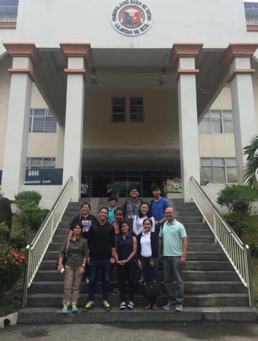
Martinez and Prof. Eula Sola of CSSP-Geog, and UPD students taking up Geography 197 (Digital Cartography) served as validators who guided the high school students in properly mapping the structures in their locality. Meanwhile, UP NOAH Center’s Feye Andal, Dianne Bencito, Agla Balaba, Joy Santiago and Jerico Mendoza served as resource persons who oriented the participating high schools on how to map online using the Open Street Map website.
An ongoing project, the Youth Mapathon began on Feb. 1. As of Apr. 11, the total number of buildings mapped was 67,848. (Photos and report from UPD CSSP-Geog)