Over 200 researchers, professionals, developers, and students, from inside and outside the country gathered at the GT-Toyota Asian Center Auditorium for the Philippine Geomatics Symposium 2025 (PhilGEOS 2025).
With the theme Enhancing Human Quality of Life Through Spatial Technologies, PhilGEOS is a premier biennial conference organized by the UP Diliman (UPD) Department of Geodetic Engineering (DGE) and the UP Training Center for Applied Geodesy and Photogrammetry.
According to DGE Chair Mark Edwin A. Tupas, PhilGEOS 2025 focused on demonstrating the role of geomatics, remote sensing, AI, and spatial analytics in addressing current challenges such as public health, urban planning, disaster resilience, climate change, and environmental sustainability.
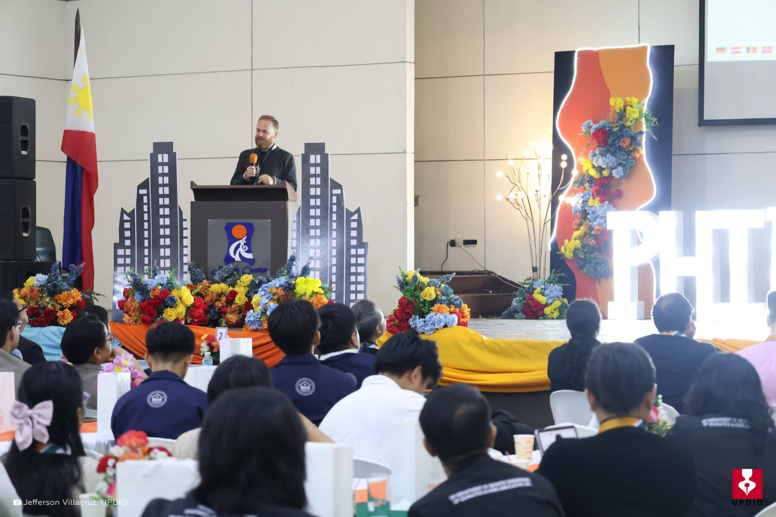
In his keynote speech, Kasper Fibæk, PhD, an earth observation application specialist at the European Space Agency (ESA), said geomatics and geospatial technologies are quietly but significantly shaping the world.
Fibæk described how his work at ESA contributed to the International Charter: Space and Major Disasters, an online database of earth observation data from more than 140 countries.
He said the database has helped users track natural disasters such as oil spills, earthquakes, and flooding throughout the world, including the Philippines.
The International Organization for Standardization defines geomatics as “discipline concerned with the collection, distribution, storage, analysis, processing, presentation of geographic data or geographic information.”
Tupas said the research featured at the symposium demonstrate the real-world effects of geomatics, such as mapping efforts for agriculture and mapping efforts for disaster risk reduction.
“We hope [that] maipakita doon sa mga sessions how [geomatics] directly trickles down doon sa ating mga users on the ground,” he said. The symposium, held from Nov. 24 and 25, was divided into 15 subthemes that include Geospatial Solutions for Public Health and Disease Mapping, Geospatial Technologies for Emergency Management and Resilience, Geospatial Technologies for Environment and Resource Management, Geospatial Techniques for Renewable Energy and Sustainability, and Geomatics for Agriculture and Food Security.