What if everything that you needed for modern urban life—from working and shopping, to hospitals and schools—was just 15 minutes away from your home?
A group of UP Diliman (UPD) students and their professor used this premise as basis to create a 15-minute city index, more known as FMCI, which measures how close a particular area is to this 15-minute ideal.
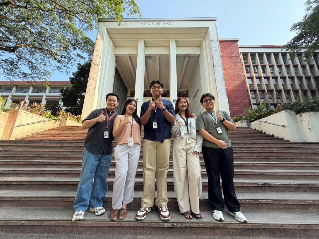
Geodetic engineering undergraduate students Carlo Angelo R. Mañago, Marielle G. Nasalita, Cesar V. Saveron, and Ynah Andrea D. Sunga, and Alexis Richard C. Claridades, PhD, an associate professor at the UPD Department of Geodetic Engineering, developed a 15-minute city index that can be applied to urban areas in the country.
Their paper Development of a Fifteen-Minute City Index Using Walkability Scores and Age-Classified Population: The Case of Pasig City, Metro Manila, Philippines (Development of FMCI: The Case of Pasig City) published in the ISPRS International Journal of Geo-Information, proposed an FMCI anchored on six essential urban social functions: living, working, supplying, enjoying, learning, and caring.
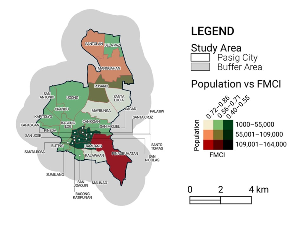
Social functions include services like healthcare, education, and the sale of food and beverages. The study also factored in data like existing pedestrian layout, walkability scores of the walkways in the area, and the resident populations’ walking speeds, age group classification, and population distribution.
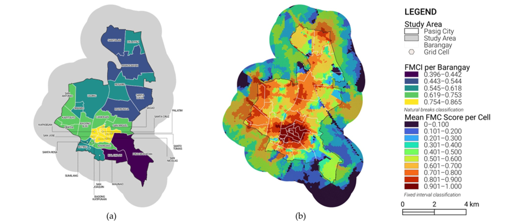
Based on the Development of FMCI: The Case of Pasig City, the closer a barangay’s FMCI score is to 1, it means more of the actual residents can reach or access the six social functions within 15 minutes.
In an email to UPDate Online, the researchers said while the idea of an FMCI is not new and is actively being pursued in other parts of the Philippines, their study is the first to “develop an index for assessing urban areas through a systematic and replicable framework that incorporates accessibility and walkability principles of the FMC model.”
The researchers explained that local government units can improve their FMCI score by increasing their barangay’s number of service-offering facilities, spreading them out across the barangay, and improving pedestrian connectivity.
“Increasing the number of establishments that offer pertinent services will naturally increase access for residents. However, their locations must be distributed equitably across the area so that all residents can access them and not be concentrated in certain regions. Finally, pedestrian paths must be walkable for residents to access services from their residences,” they said.
On March 26, the International Society for Photogrammetry and Remote Sensing (ISPRS) awarded the research paper with the Jack Dangermond Best Paper Award 2025 for its outstanding work that “contributes valuable insights into urban accessibility and sustainable city planning through innovative geospatial analysis.”
Founded in 1910 in Vienna, Austria, the ISPRS is one of the oldest and largest international organizations in the fields of imaging and geospatial sciences. Its journal, the ISPRS Journal of Photogrammetry and Remote Sensing, is Scopus-indexed.
The researchers said the award highlights the importance of sustainable city planning and having an accessible city to improve the quality of life for Filipinos.
The researchers expressed their honor in receiving the award and their pride “to have contributed to urbanization research through geospatial techniques.”
They added that with the growing applications of geomatics, “we hope to inspire more initiatives, projects, and research about sustainable urban planning using open-sourced spatial data and techniques. As Iskolar ng Bayan, this aligns with the University of the Philippines Diliman’s goal for knowledge, progress, and service to the people, sharing quantitative measures and insights on urban accessibility.”